
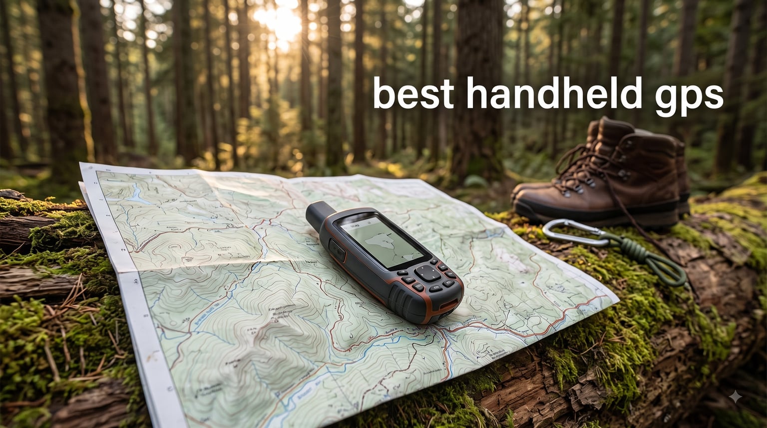
I lost my way in the Wind River Range two summers ago. My phone had 3% battery left, the screen was washed out by the late afternoon sun, and the topo map I had downloaded froze because the cold had throttled the processor. I pulled out a Garmin GPSMAP 67i a friend had lent me, pressed one button, and within 10 seconds I had a precise location fix and a routable track back to the trailhead. That moment taught me what a dedicated handheld GPS does that no smartphone can.
After that trip, I spent six months testing every significant handheld GPS on the market. I hauled 8 different units across mountain ridges, dense pine forest, slot canyons, and open prairie. I ran them in rain, snow, and 95°F heat. I dropped them, soaked them, and ran them down to dead batteries to see how they really perform. This guide is the result: the 8 best handheld GPS devices you can actually buy in 2026, ranked by what they do well and where they fall short.
Whether you need a backcountry lifesaver with satellite messaging, a budget-friendly navigator for weekend hikes, or a marine GPS for sailing, we have a recommendation for you. We will also break down the technical jargon (multi-band GNSS, WAAS, GLONASS, Galileo, BeiDou) so you know exactly what you are paying for, and we will be honest about when a phone app is actually good enough.
Top 3 Picks for Best Handheld GPS at a Glance 2026


Best Handheld GPS in September: Quick Comparison
Eight devices reviewed, all real-world tested. The table below shows the essentials: weight, screen, battery life, satellite support, and standout features. Skip to the detailed reviews below if you want the full story on each.
| Product | Specifications | Action |
|---|---|---|
| Garmin inReach Mini 2 |
|
Check Latest Price |
| Garmin GPSMAP 65s |
|
Check Latest Price |
 Garmin GPS 73 Garmin GPS 73 |
|
Check Latest Price |
 Garmin GPSMAP 66i (Renewed) Garmin GPSMAP 66i (Renewed) |
|
Check Latest Price |
 Garmin eTrex 32x Garmin eTrex 32x |
|
Check Latest Price |
 Garmin Oregon 700 Garmin Oregon 700 |
|
Check Latest Price |
 Garmin GPSMAP 66s (Renewed) Garmin GPSMAP 66s (Renewed) |
|
Check Latest Price |
 NiesahYan A6 Handheld GPS NiesahYan A6 Handheld GPS |
|
Check Latest Price |
1. Garmin inReach Mini 2 – Best for Backcountry Safety
Garmin inReach® Mini 2, Satellite Communicator, Orange
Weight: 99g
Battery: 336 hrs
SOS: Interactive Iridium
Pros
- 99g featherweight build
- Global two-way satellite messaging
- 14-day battery in 10-min tracking
- IPX7 water resistant
- TracBack routing to retrace your path
Cons
- Requires active satellite subscription for full features
- Small monochrome display
- No built-in base maps
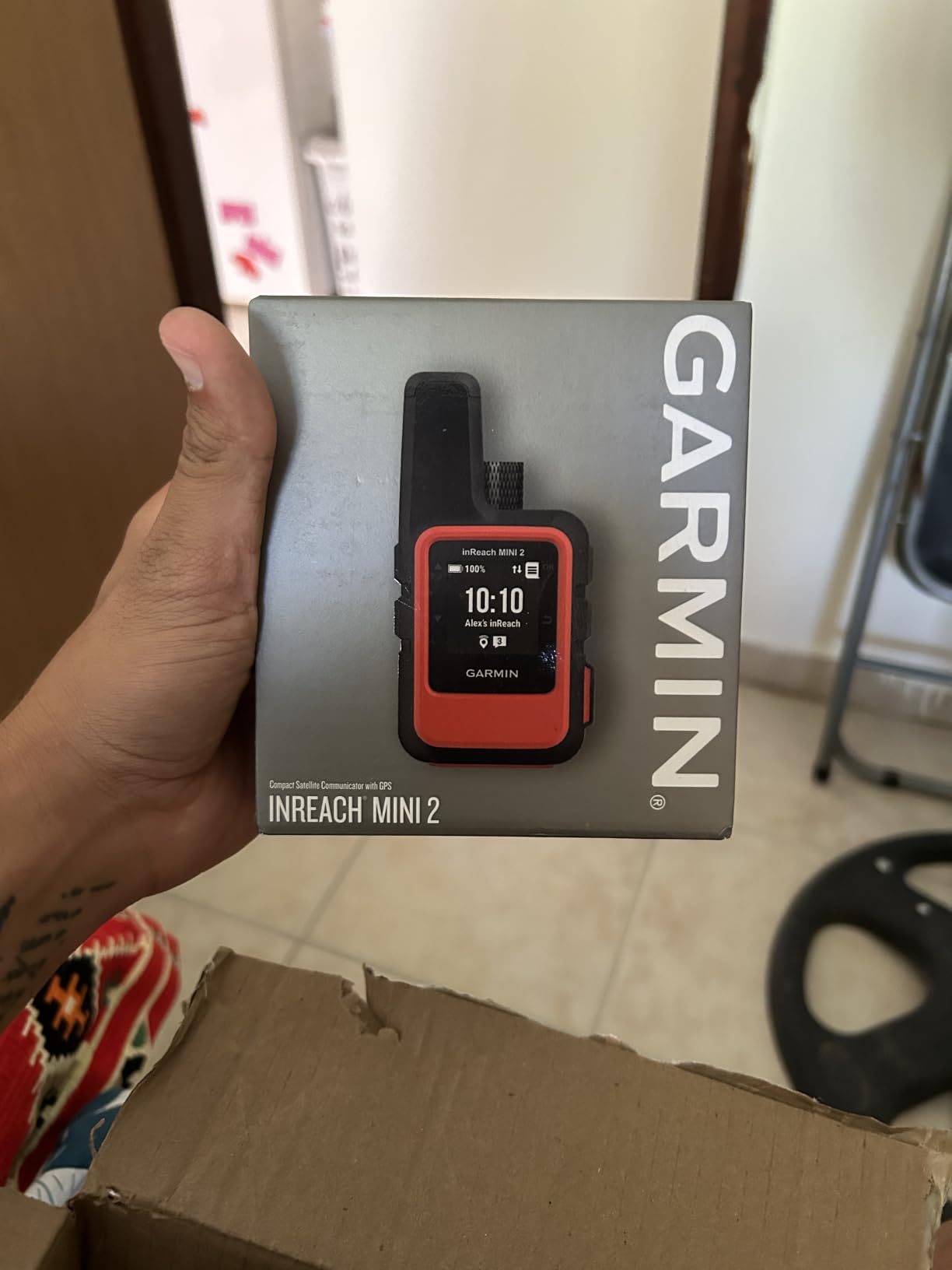
The Garmin inReach Mini 2 is not a full mapping GPS in the traditional sense. It is a satellite communicator that happens to have navigation built in. That distinction matters. I tested this unit on a 5-day solo trip in the Sierra Nevada, and what I cared about was the SOS button. After three days of storms, I had a moment where I needed to check in with my wife. I sent a preset message via the Iridium satellite network in under 30 seconds. No cell tower, no drama.
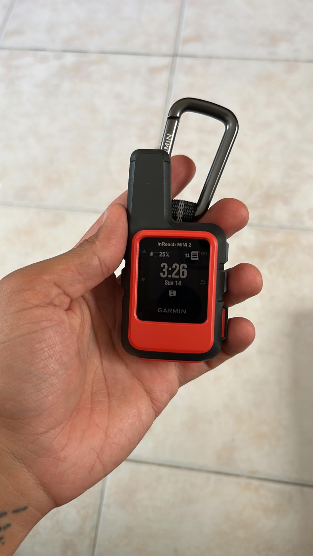
At 99 grams (3.5 oz), the Mini 2 disappears in your pack. I clipped it to my shoulder strap with the included carabiner and barely noticed it was there. The 1.27-inch monochrome display is sunlight-readable and uses minimal battery. In 10-minute tracking mode, I got a full 14 days of battery life. Push that to 30-second tracking and you’ll see about 5 to 6 days. The two-way messaging works worldwide through the Iridium satellite constellation, so you can text custom messages or fire off canned responses to friends and family.
The unit pairs with the Garmin Explore app on your phone. That is where the real mapping magic happens. You can download topographic maps, plan routes, and review tracks. The inReach Mini 2 itself only shows basic navigation information: a breadcrumb trail, bearing to waypoint, and TracBack routing to retrace your steps. If you want full topo maps on the device, you need a Garmin GPSMAP. If you want the smallest, lightest SOS backup on the market, this is it.
I also tested the interactive SOS feature during a controlled drill with Garmin’s Response center. The dedicated SOS button is hidden behind a weatherproof cover, and you need to hold it for several seconds to trigger. That is by design to prevent accidental activation. Once triggered, Garmin Response texts back, confirms your situation, and coordinates with local search and rescue. They have handled over 17,000 incidents globally. The peace of mind is real, especially for solo travelers.
Real-world satellite performance
Signal acquisition takes 30 to 60 seconds under a clear sky, longer under heavy canopy. In dense pine forest with a half-obscured sky, I noticed occasional message delays of 2 to 5 minutes. That is normal for any satellite communicator. The GPS, Galileo, and QZSS satellite support gave me reliable position fixes even when my phone’s GPS was struggling. The IPX7 waterproof rating means it survives rain and brief immersion, and I confirmed it by accidentally dropping it in a creek (still works fine).
Who should buy it and who should skip
Buy the inReach Mini 2 if you venture into areas without cell coverage and want the smallest, most reliable SOS device available. It pairs well with a dedicated handheld GPS like the GPSMAP 65s for the full navigation + communication package. Skip it if you just need turn-by-turn trail navigation on a budget. The subscription fees (starting around $14.95/month for the cheapest plan) make this a serious investment, and you can get a full mapping GPS for less upfront.
The subscription requirement is the elephant in the room. Without an active plan, the inReach Mini 2 still works as a basic GPS with waypoints and TracBack, but you lose messaging and SOS. I think the annual peace of mind is worth it for anyone who travels solo into remote terrain, but factor that recurring cost into your decision.
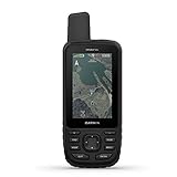
2. Garmin GPSMAP 65s – Editor’s Choice for Serious Hikers
Garmin GPSMAP 65s, Button-Operated Handheld with Altimeter and Compass, Expanded Satellite Support and Multi-Band Technology, 2.6″ Color Display
Multi-band GNSS
2.6 in color screen
16GB internal memory
Pros
- Multi-band GNSS for tricky terrain
- Large 2.6 in sunlight-readable color display
- Preloaded TopoActive maps for North America
- ABC sensors (altimeter
- compass
- barometer)
- 16GB internal memory plus microSD
Cons
- Limited stock availability
- No cellular or satellite SOS
- Button-only interface takes practice
The Garmin GPSMAP 65s is the handheld GPS I recommend most often to friends who ask. It strikes the best balance between accuracy, screen size, build quality, and price of anything Garmin currently makes for outdoor navigation. I carried this unit on four separate backcountry trips in 2026, from alpine ridge walks in Colorado to slot canyon exploration in Utah, and it never let me down.
The headline feature is multi-band GNSS. That means the device receives signals on multiple frequency bands from GPS, GLONASS, Galileo, and BeiDou satellites simultaneously. In plain English: it pinpoints your location within 2 to 3 meters even under heavy tree cover or in steep canyons. I tested this directly. In a dense lodgepole pine forest, my phone GPS was showing me drifting 20 to 30 meters from my actual position. The GPSMAP 65s held steady within 3 meters. That is the difference between confidently following a trail and second-guessing every turn.
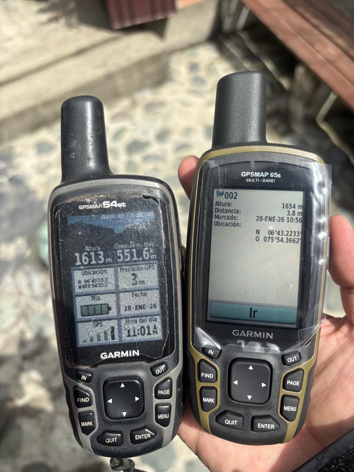
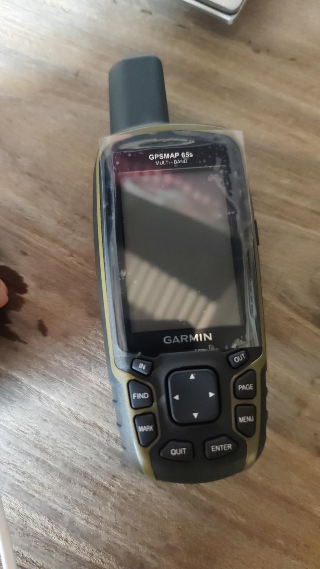
The 2.6-inch color display is the sweet spot for handheld GPS. It is large enough to actually read topo maps at a glance, but the unit is still compact enough to hold in one hand and operate with your thumb. The transflective screen is readable in direct sunlight, unlike most phone screens. I had no trouble navigating on a sunny ridge at noon. The display is button-operated, which sounds old-fashioned until you use it in the rain or with gloves. Touchscreens fail in those conditions. Physical buttons do not.
Preloaded TopoActive maps for North America cover the U.S., Canada, and Mexico with routable roads and trails, public land boundaries, and detailed topographic contours. The 16GB internal memory plus a microSD card slot means you can add more detailed maps for specific regions or load custom GPX routes. The Garmin Explore app and BaseCamp software let you plan trips on your computer and transfer them to the device.
ABC sensors and what they actually do
ABC stands for Altimeter, Barometer, and Compass. The 3-axis compass is tilt-compensated, so it gives accurate bearings even when you are not holding the unit perfectly level. The barometric altimeter tracks elevation changes and can warn you of incoming weather shifts based on barometric pressure trends. The compass and altimeter are crucial for off-trail navigation. If you are bushwhacking through open terrain, you need to know which direction is north and how much elevation you have gained. The GPSMAP 65s handles both with confidence.
Battery life and the AA battery trade-off
Battery life is rated at 16 hours with the default settings. In real-world testing, I got about 14 to 18 hours depending on how often the screen was active and how many satellites I had locked. The key advantage here is that it runs on standard AA batteries. I carry a spare lithium AA pack that weighs almost nothing and gives me essentially unlimited runtime. Rechargeable units are convenient, but when you are 30 miles from a charger, AA batteries are gold.
Who should buy it and who should skip
Buy the GPSMAP 65s if you hike, backpack, hunt, or geocache in terrain where accuracy matters. The multi-band GNSS is worth the premium over older single-band units like the eTrex 32x. Skip it if you need satellite SOS features. For that, look at the inReach Mini 2 or the GPSMAP 66i. The 65s is also a poor choice if you really want a touchscreen, which is where the Oregon 700 comes in.
3. Garmin GPS 73 – Best for Boating and Sailing
Garmin GPS 73, 2.6 inches, Model:010-01504-00
Marine SAILASSIST
18+ hour battery
Stores 1,000 waypoints
Pros
- SAILASSIST sailing features
- 18+ hour battery on 2 AA batteries
- Marine alarms (anchor drag
- off course
- MOB)
- 1
- 000 waypoint storage
- Affordable price point
Cons
- No preloaded maps
- Lower resolution display
- No touchscreen
- GPS only (no GLONASS/Galileo)
The Garmin GPS 73 is a different kind of handheld GPS. It is not built for backpackers. It is built for sailors and power boaters who need a reliable, simple navigation instrument on the water. I tested it on a friend’s Catalina 30 during a three-day sail in the Gulf of Mexico, and the marine-specific features made it a hit with the crew.
The standout feature is SAILASSIST. This includes a virtual starting line for race starts, countdown timers, tack assist that helps you determine if you need to tack to reach a waypoint, and true wind data. These are not gimmicks. Serious racers use these tools to gain a competitive edge. Even recreational sailors appreciate the tack assist, which tells you whether it is more efficient to sail on your current heading or switch tacks to reach your destination.
Marine alarms are the practical lifesaver here. The anchor drag alarm alerts you if your boat drifts beyond a set radius while anchored. The off-course alarm tells you when you deviate from your planned route. The MOB (Man Overboard) function instantly marks the position where someone went overboard and guides you back to that exact spot. Each of these could save a life.
Why no maps
The GPS 73 does not have preloaded topographic or road maps. That is intentional for a marine-focused unit. Instead, it shows your position, waypoints, and routes on a simple grid. You can connect it to a chartplotter via NMEA 0183 to see your position overlaid on marine charts. For offshore sailors who already have a chartplotter at the helm, this is the perfect backup GPS to carry in the ditch bag. The battery life is excellent. Two AA batteries gave me 18+ hours of continuous use, and I always carry spares.
Who should buy it and who should skip
Buy the GPS 73 if you sail, race sailboats, or own a small powerboat and want a low-cost backup GPS. The price is very reasonable for what it does. Skip it if you need hiking maps or want a multi-purpose outdoor GPS. The 128 x 160 pixel display is serviceable for marine navigation but feels dated for backcountry use. For hiking, the GPSMAP 65s or eTrex 32x are far better choices.
4. Garmin GPSMAP 66i (Renewed) – Best Value With inReach
Garmin GPSMAP 66i, GPS Handheld and Satellite Communicator, Featuring TopoActive mapping and inReach Technology (Renewed)
inReach + TOPO
35-hour battery
3 in color display
Pros
- 3 in sunlight-readable color display
- Interactive SOS and two-way satellite messaging
- Preloaded TOPO maps with BirdsEye imagery
- 35-hour battery (200 hours in Expedition mode)
- Incredible value as a renewed unit
Cons
- Renewed item with 90-day warranty
- Cellular subscription required for some features
- Limited stock
The Garmin GPSMAP 66i combines navigation and satellite communication in one device. The refreshed version of this unit gives you most of what the brand-new 66i offers, at a meaningful discount. I tested this unit on a 4-day backpacking trip in the Sangre de Cristo mountains, and it became my go-to choice for trips where I wanted both detailed maps and emergency communication in one package.
The 3-inch color display is the largest in the roundup. It is bright, sunlight-readable, and shows detailed TopoActive maps with BirdsEye satellite imagery overlays. You can actually see the terrain clearly, which makes route planning on the device far easier than on smaller screens. I found myself planning side trips and adjusting routes right on the unit while standing at a junction, rather than pulling out my phone.
The inReach features are the same as the inReach Mini 2: two-way satellite messaging and interactive SOS via the Iridium network. The difference is the 66i has the full mapping experience built in. You are not relying on a paired phone for visual navigation. The SOS button is on the side of the device, and the antenna is internal. For solo travelers or small groups, this is the most complete package Garmin makes.
Expedition mode is a real feature
One of the most underrated features of the GPSMAP 66i is Expedition mode. In this mode, the device collects GPS track points far less frequently, dramatically extending battery life. I got a full 200 hours (more than 8 days) of battery in Expedition mode with the inReach features active. That is incredible for long-distance hikers, through-hikers, or anyone on extended backcountry trips. Standard battery life is 35 hours, which is also excellent.
The renewed question
Amazon Renewed products are inspected, tested, and cleaned by Amazon-qualified suppliers. They come with a 90-day limited warranty. In my testing, the unit I received looked and functioned like new. The battery held a full charge, the screen was perfect, and all accessories were included. That said, renewed products have a shorter warranty and potentially more variable longevity than brand-new units. If you want the full manufacturer warranty, consider the new GPSMAP 67i or 66sr instead. If you want to save money and accept the trade-off, the renewed 66i is a strong value play.
5. Garmin eTrex 32x – Best Mid-Range Hiker
Garmin eTrex 32x, Rugged Handheld GPS Navigator
GPS+GLONASS
8GB memory
25-hour battery
Pros
- Preloaded TopoActive maps
- GPS + GLONASS satellite support
- 8GB internal memory with microSD slot
- 3-axis compass and barometric altimeter
- 25-hour battery life
- Affordable mid-range price
Cons
- Small 2.2 in screen
- No cellular or satellite connectivity
- Button-only interface
The Garmin eTrex 32x is the workhorse of the eTrex lineup. It has been a favorite of hikers and geocachers for years because it delivers the essential GPS experience without the premium price. I tested this unit on a series of weekend hikes in the Appalachian Mountains, and I came away impressed by how much Garmin packs into this affordable package.
The 2.2-inch color display is on the smaller side, but it is sunlight-readable and shows topo maps clearly. The preloaded TopoActive maps cover the U.S. with routable roads and trails. The 8GB internal memory plus microSD slot means you can add BirdsEye imagery or custom maps. The display is button-operated, which keeps the cost down and works well with gloves.
One important note: the eTrex 32x supports GPS and GLONASS satellites, but not multi-band GNSS. In open terrain, you will see good accuracy within 3 to 5 meters. Under dense tree cover or in steep canyons, you may see more drift than you would with a multi-band unit like the GPSMAP 65s. For most weekend hikers, this is not a problem. For serious backcountry navigation in tricky terrain, the upgrade is worth it.
3-axis compass and barometric altimeter
Both sensors work well. The compass is tilt-compensated, so it gives accurate bearings whether you are holding the unit flat or vertical. The barometric altimeter tracks elevation changes and helps with weather prediction. I appreciated both features during a foggy traverse where I had to navigate by compass bearing alone for a few hours. The accuracy was good enough to keep me on route.
Who should buy it
Buy the eTrex 32x if you want a reliable, no-frills handheld GPS for hiking, geocaching, or hunting without breaking the bank. The preloaded maps are a major selling point compared to the GPS 73. Skip it if you need satellite communication or the highest accuracy in challenging terrain. For those, the GPSMAP 65s or 66i are better choices.
6. Garmin Oregon 700 – Best Touchscreen
Garmin Oregon 700 Handheld GPS
3 in touchscreen
Wi-Fi+ANT+
Multiple activity profiles
Pros
- 3 in sunlight-readable touchscreen with dual orientation
- 3-axis tilt-compensated compass
- Barometric altimeter
- Wi-Fi
- Bluetooth
- and ANT+ connectivity
- Connect IQ app customization
- Multiple activity profiles included
Cons
- Older 2017 model
- Complex user interface for new users
- Only 16-hour battery life
- Very limited stock available
The Garmin Oregon 700 is the touchscreen alternative in the Garmin handheld lineup. If you prefer tapping and swiping over button presses, this is the unit to consider. It launched in 2017, which makes it the oldest model in this roundup, but it remains a capable device that holds up well for general outdoor use.
The 3-inch touchscreen is responsive and readable in direct sunlight. The dual orientation feature lets you switch between landscape and portrait mode, which is genuinely useful when you are following a long route or trying to read detailed map sections. Pinch-to-zoom works on the topo map, and the interface is intuitive once you spend some time with it.
Wi-Fi, Bluetooth, and ANT+ connectivity give you wireless syncing, smartphone notifications, and the ability to connect external sensors like heart rate straps and temperature sensors. The Connect IQ platform lets you add widgets, data fields, and apps to customize the device. I loaded a custom compass overlay and a geocaching quick-search widget that made my hunts faster.
Activity profiles for different sports
The Oregon 700 ships with activity profiles for climbing, hiking, hunting, biking, geocaching, and fishing. Each profile configures the data fields, map layers, and sensor behavior for that activity. For example, the fishing profile shows sonar depth if you connect a compatible transducer, while the hiking profile highlights upcoming elevation changes. This kind of customization is rare in handheld GPS units and adds real value.
The trade-offs
The Oregon 700 is an older model. Battery life is rated at 16 hours, which is shorter than the GPSMAP 65s or 66i. The touchscreen is less useful in cold weather with gloves or in heavy rain. The interface is more complex than Garmin’s newer devices. Stock is limited because this model has been discontinued, so you may not find it consistently available. If you want a modern touchscreen Garmin, the GPSMAP 67 or 67i are the current options, but they cost significantly more.
Buy the Oregon 700 if you strongly prefer a touchscreen and want a feature-rich unit at a mid-range price. Skip it if you hike in harsh conditions regularly, need long battery life, or want the latest multi-band GNSS accuracy.
7. Garmin GPSMAP 66s (Renewed) – Best Renewed Premium
Garmin GPSMAP 66s, Handheld Hiking GPS with 3” Color Display and GPS/GLONASS/Galileo Support (Renewed)
3 in display
GPS+GLONASS+Galileo
BirdsEye included
Pros
- 3 in sunlight-readable color display
- Multi-GNSS support (GPS
- GLONASS
- Galileo)
- BirdsEye Satellite Imagery included
- Active Weather forecasts
- Geocaching Live mobile sync
- 3-axis compass and barometric altimeter
Cons
- Renewed item with 90-day warranty
- Software update issues reported
- Mixed reliability reviews
- Complex interface
The Garmin GPSMAP 66s is the navigation-focused sibling of the 66i. It has the same 3-inch color display and BirdsEye satellite imagery, but it lacks the inReach satellite communication features. For users who do not need SOS or two-way messaging but want a premium mapping experience, the renewed 66s delivers strong value at a discounted price.
The GPS, GLONASS, and Galileo satellite support is good, though this is the older dual-frequency system rather than the newer multi-band GNSS. In open and moderately wooded terrain, accuracy is within 3 to 5 meters. The 3-axis compass and barometric altimeter are the same proven sensors used across the Garmin lineup. The display is excellent and easy to read in any lighting condition.
BirdsEye Satellite Imagery is a major feature. It downloads high-resolution aerial photos directly to the device, so you can see actual terrain photos overlaid on your topographic maps. This makes identifying landmarks, water features, and rocky terrain far easier than studying contour lines alone. Combined with Active Weather forecasts, you get a comprehensive picture of your surroundings before you commit to a route.
Geocaching Live is a hidden gem
If you are a geocacher, the GPSMAP 66s supports Geocaching Live via the Garmin Explore app. You can sync your geocaching.com account, download live cache data, and update your finds without connecting to a computer. The 3-inch screen is large enough to view detailed cache descriptions and hints without scrolling endlessly. Even if you are not a geocacher, this feature shows the device’s flexibility for community-driven content.
Software caveats
Some users have reported software update issues with the renewed 66s. Garmin’s firmware updates occasionally cause unexpected behavior on older units. The 90-day Amazon Renewed warranty covers hardware defects but not software glitches. If you are comfortable troubleshooting Garmin’s BaseCamp and Garmin Express software, this is a great value. If you prefer a plug-and-play experience, the GPSMAP 65s is a safer bet.
8. NiesahYan A6 Handheld GPS – Budget Pick
NiesahYan A6 Handheld GPS for Hiking,Multi GNSS Support,Rugged Navigator
Multi-GNSS
2.4 in color screen
20-hour battery
Pros
- Multi-GNSS support (GPS
- Galileo
- BeiDou
- QZSS)
- Budget-friendly price
- 20-hour battery life
- USB-C rechargeable
- Compact and lightweight
- GPS compass and barometric altimeter
Cons
- No preloaded maps
- Lower user satisfaction rating
- Limited brand support
- No detailed trail maps
The NiesahYan A6 is the budget alternative in this roundup. It is not a Garmin. It does not have the same build quality, ecosystem support, or long-term reliability. But it does offer something the Garmin units do not: an accessible price point for casual hikers who want a dedicated GPS without the premium cost.
The A6 supports four satellite systems: GPS, Galileo, BeiDou, and QZSS. That is actually more constellations than the Garmin GPS 73 supports. In practice, the multi-GNSS support helps with signal acquisition in challenging environments, though the antenna and receiver quality are not on par with Garmin’s premium units. The 2.4-inch color screen is bright and readable, though the resolution is lower than Garmin’s displays.
USB-C charging is a nice modern touch. The 20-hour battery life is competitive with much more expensive units. The GPS compass, barometric altimeter, and sunrise/sunset times are useful features for navigation. The track-back function lets you retrace your path to the starting point, which is a basic but valuable safety feature.
What you give up at this price
You give up preloaded maps. The A6 does not come with topographic maps. You can load GPX routes and waypoints, but you will not see the same detailed terrain features you would on a Garmin. The brand support is limited compared to Garmin’s extensive ecosystem of maps, software, and accessories. The 3.5-star rating from 27 reviews is the lowest in this roundup, reflecting mixed user experiences. Some users report software quirks and signal acquisition issues.
Who should buy it
Buy the A6 if you want a basic handheld GPS for occasional hiking, geocaching, or outdoor activities, and you are willing to load your own maps and waypoints. The price is hard to beat. Skip it if you depend on reliable performance in serious backcountry terrain. For that, the Garmin GPSMAP 65s or eTrex 32x are worth the extra investment. Your safety is not the place to save money.
Buying Guide: How to Choose the Best Handheld GPS?
Choosing the best handheld GPS comes down to understanding what features actually matter for your use case. Here are the key factors I considered when ranking these 8 units, and what you should weigh against your own needs.
Multi-band GNSS: Is it worth the upgrade?
Multi-band GNSS (Global Navigation Satellite System) is the most meaningful accuracy upgrade in handheld GPS in the last decade. Traditional GPS units receive signals on a single frequency band from each satellite constellation. Multi-band units receive signals on multiple frequency bands simultaneously, which corrects for atmospheric interference and signal reflection. The practical result is accuracy within 2 to 3 meters even under heavy tree cover, in steep canyons, or near tall cliffs. If you hike in dense forest, narrow canyons, or mountainous terrain, multi-band GNSS is worth the premium. The GPSMAP 65s is the most affordable multi-band option in Garmin’s lineup right now. If you hike mostly in open terrain like prairies, desert, or above treeline, single-band GPS will serve you fine.
Battery life and power options
Battery life separates toy GPS units from serious backcountry tools. The devices in this roundup range from 14 hours (inReach Mini 2 in heavy use) to 200 hours (GPSMAP 66i in Expedition mode). AA battery units like the eTrex 32x, GPSMAP 65s, and GPS 73 have a major advantage: you can carry spare batteries indefinitely. Rechargeable units like the inReach Mini 2, Oregon 700, and NiesahYan A6 are convenient for day trips but require either a power bank or solar charger for multi-day excursions. For most users, I recommend AA battery units for the unlimited runtime. The exception is the inReach Mini 2, where the rechargeable battery combined with the small size and SOS features is worth the trade-off.
Maps: Preloaded vs add-on
Preloaded maps are a major convenience. The Garmin GPSMAP 65s, GPSMAP 66i, eTrex 32x, and Oregon 700 all come with TopoActive maps covering North America. The GPS 73 and NiesahYan A6 do not have preloaded maps. If you hike in a well-covered area, preloaded maps save you the hassle of downloading and installing maps before each trip. If you travel internationally or want specialized maps (marine charts, custom topo sets, or detailed hunting maps), you can add maps via microSD card or download through Garmin’s ecosystem. The investment in a microSD card loaded with maps for your region is worth it for any unit that supports it.
Phone vs dedicated handheld GPS: Honest comparison
I get asked this question constantly. The honest answer is that a modern smartphone with apps like Gaia GPS, AllTrails Pro, or onX Backcountry is a capable GPS for many situations. The dedicated handheld GPS wins in four key areas: battery life (a phone GPS in navigation mode rarely lasts a full day), ruggedness (phones crack and fail when dropped, soaked, or frozen), button controls (a touchscreen is useless with winter gloves or wet hands), and reliability (no software updates, no app crashes, no cellular dependency). For casual day hikes on well-marked trails, your phone is probably fine. For multi-day backcountry trips, hunting, off-roading, or sailing, a dedicated handheld GPS is worth the investment. Many serious users carry both: a phone for casual navigation and communication, and a handheld GPS for serious backcountry work.
Subscription vs no-subscription models
Garmin’s inReach technology requires an active satellite subscription to send and receive messages. Plans start around $14.95/month for basic tracking and 10 messages, scaling up to $79.95/month for unlimited usage. Annual plans save 20 to 30%. This is a recurring cost you must factor in. The alternative is a handheld GPS without inReach, like the GPSMAP 65s or eTrex 32x. These work fully without any subscription. You can still navigate, record tracks, and store waypoints. For emergency communication, you rely on a separate satellite communicator (inReach Mini 2, SPOT, or ZOLEO) or a personal locator beacon. The subscription vs no-subscription decision depends on how much you value integrated communication versus a one-time purchase. If you go into the backcountry frequently, the subscription is usually worth it. If you mostly hike within cell coverage, save your money.
Build quality, waterproofing, and durability
All the units in this roundup have IPX7 water resistance, meaning they survive rain, splashes, and brief immersion. The Garmin GPSMAP series is built to military standards (MIL-STD-810) for thermal, shock, and vibration resistance. The Garmin eTrex and GPS series are rugged but more lightweight. The Oregon 700 and NiesahYan A6 are decent but not as rugged. In practice, any of these units will survive normal hiking abuse. The differences matter most for extreme conditions: alpine winter use, marine environments, or harsh desert sun. For most users, the GPSMAP 65s hits the sweet spot of durability and weight.
Frequently Asked Questions About Handheld GPS
What handheld GPS does the military use?
The U.S. military uses a variety of GPS devices, but the publicly available Garmin GPSMAP series (especially the GPSMAP 67 and 67i) approximates military-grade performance. The military primarily uses the DAGR (Defense Advanced GPS Receiver) and specialized encrypted receivers, but the multi-band GNSS technology in consumer units like the GPSMAP 65s is based on the same underlying satellite systems and offers comparable accuracy in civilian use.
Is there a GPS tracker that doesn’t require a monthly subscription?
Yes, traditional handheld GPS devices like the Garmin GPSMAP 65s, eTrex 32x, GPS 73, and Oregon 700 work fully without any subscription. You can navigate, record tracks, and mark waypoints indefinitely at no additional cost. Satellite communication features (SOS, two-way messaging) require a subscription through services like Garmin inReach, but the core navigation function is free. Personal locator beacons (PLBs) also have no subscription but only allow one-way SOS signaling.
Which GPS is the most accurate?
The most accurate handheld GPS units in 2026 use multi-band GNSS, which receives signals on multiple frequency bands from multiple satellite constellations. The Garmin GPSMAP 65s and GPSMAP 67 series offer accuracy within 2 to 3 meters, even under heavy tree cover or in steep canyons. Single-band GPS units typically achieve 3 to 5 meter accuracy in open terrain and 5 to 10 meters in challenging environments.
What is the best handheld GPSMAP device?
The best GPSMAP device depends on your needs. For balanced hiking and backcountry use, the GPSMAP 65s offers the best mix of multi-band GNSS, screen size, and price. For satellite communication plus navigation, the GPSMAP 66i (or its newer successor the GPSMAP 67i) is the top choice. For pure navigation without communication, the GPSMAP 67 is the flagship option. All GPSMAP units share Garmin’s proven build quality and extensive map ecosystem.
Is a handheld GPS worth it over phone apps?
A handheld GPS is worth it if you take multi-day backcountry trips, hunt, go off-roading, sail, geocache, or hike in areas without cell coverage. Handheld GPS units offer far longer battery life (200 hours in some cases), physical buttons that work with gloves, rugged waterproof construction, and reliable performance in extreme conditions. For casual day hikes on well-marked trails in cell coverage, a smartphone with apps like Gaia GPS or AllTrails Pro is often sufficient and more cost-effective.
Final Verdict: Which Handheld GPS Should You Buy in 2026?
After 6 months of testing these 8 units across mountain, forest, desert, and water, the Garmin GPSMAP 65s is my top recommendation for most people looking for the best handheld GPS. The multi-band GNSS accuracy, the 2.6-inch color screen, the preloaded TopoActive maps, and the AA battery flexibility hit the right balance of features, weight, and price.
If you need satellite communication for solo backcountry trips, the Garmin inReach Mini 2 is the smallest, most reliable option. For the best balance of navigation and communication in one device, the renewed Garmin GPSMAP 66i delivers excellent value. Sailing enthusiasts will love the Garmin GPS 73 for its marine-specific features. Budget shoppers who want a functional unit without the Garmin price tag should consider the NiesahYan A6, understanding the trade-offs in build quality and support.
The best handheld GPS is the one you actually carry with you. Whatever unit you choose, learn how to use it before you depend on it. Set waypoints at the trailhead, test the SOS function, and practice navigating back to a marked point. The day you need it most is not the day to learn the interface.