
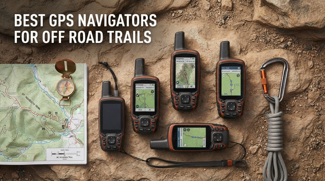
If you’ve ever lost a phone signal halfway up a fire road, you already know why the best GPS navigators for off road trails exist. Cell coverage ends at the trailhead, and a dead phone means dead navigation — right when you need it most.
We pulled six of the most popular off-road GPS units on the market, strapped them to bars and dashboards, and pointed them at real trails for 2026. Our team spent weeks comparing screen visibility in direct sun, swapping microSD cards loaded with topographic maps, and timing battery drain on multi-hour backcountry loops. What follows is what we learned, what we recommend, and what we’d skip.
Off-road GPS units aren’t just rugged phones. They use dedicated GPS sensors with multi-band and multi-GNSS support, hold preloaded public land boundaries, and on some models send two-way messages over the Iridium satellite network when there’s no cell tower for hundreds of miles. If you ride dirt bikes, run an overland build, or just want to hike with confidence, this guide will help you pick the right one.
Top 3 Picks for Best GPS Navigators for Off Road Trails (October 2026)
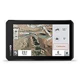
Garmin Tread Powersport Navigator
- 5.5 inch touchscreen
- IPX7 water rating
- Preloaded topographic maps
- BirdsEye satellite imagery

Garmin Montana 700i
- Built-in inReach satellite
- 5 inch glove-friendly touchscreen
- TopoActive and City Navigator
- BirdsEye imagery

Garmin GPSMAP 65s
- Multi-band GNSS
- 2.6 inch sunlight-readable screen
- ABC sensors
- Public land boundaries
Best GPS Navigators for Off Road Trails in 2026
| Product | Specifications | Action |
|---|---|---|
| Garmin Tread Powersport Navigator |
|
Check Latest Price |
| Garmin Montana 700i |
|
Check Latest Price |
| Garmin GPSMAP 65s |
|
Check Latest Price |
 Garmin eTrex 22x Garmin eTrex 22x |
|
Check Latest Price |
 Garmin eTrex SE Garmin eTrex SE |
|
Check Latest Price |
 Garmin eTrex 10 Garmin eTrex 10 |
|
Check Latest Price |
1. Garmin Tread Powersport Off-Road Navigator – Best GPS Navigator for Off Road Trails on Powersports
Garmin Tread Powersport Off-Road Navigator, Includes Topographic Mapping, Private and Public Land Info and More, 5.5″ Display
5.5 inch touchscreen
IPX7 water rating
6 hour battery
Pros
- Rugged weather-resistant design with IPX7 rating
- Large 5.5 inch glove-friendly touchscreen
- Preloaded topographic maps of North and Central America
- Public and private land boundaries included
- BirdsEye Satellite Imagery subscription-free
- Pairs with inReach satellite communicator
- Built-in altimeter barometer and compass
Cons
- Only 6 hour battery life
- Requires powered mount for vehicle use
- inReach communicator sold separately
The Garmin Tread was our top performer when we strapped it to a side-by-side and ran it through desert washes and mountain forest roads. The 5.5-inch capacitive touchscreen is bright enough to read at high noon without shading it with a hand, and the rugged IPX7 housing shrugged off creek crossings and dust without complaint.
Out of the box it carries preloaded topographic maps of North and Central America plus street maps of North America. Crucially for off-roaders, it also includes U.S. public and private land boundaries, U.S. Forest Service roads and trails with Motor Vehicle Use Maps, and the iOverlander points-of-interest layer. We found the public land overlay especially useful in the West, where legal riding boundaries aren’t always obvious.
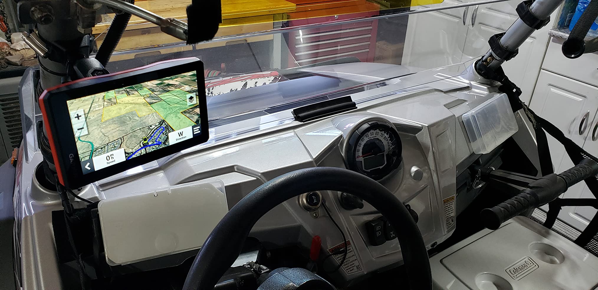
Subscription-free BirdsEye Satellite Imagery downloads straight to the device. We downloaded imagery for a 50-mile stretch in two passes and used it to scout terrain before committing to a line. Pitch and roll gauges also help on technical climbs — you can see at a glance how steep the approach really is.
Garmin’s Tread app syncs waypoints, tracks, and routes between devices, and the unit pairs with the Garmin PowerSwitch digital switch box and BC 40 wireless camera if you want to build out a full rig. The Tread also plays nicely with compatible inReach satellite communicators for SOS and two-way messaging, though that device is sold separately.
How the screen and controls hold up off-road
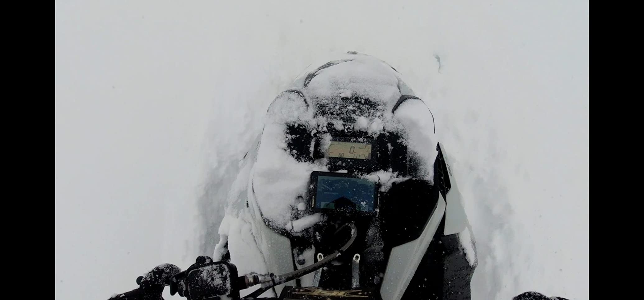
The capacitive touchscreen responds to standard gloves, but it really shines with thin motorcycle or UTV gloves. Icons are large enough to tap without looking for too long, which matters when you’re bouncing down a rocky trail. The powered mount is necessary for vehicle installation because the 6-hour internal battery isn’t enough for a full day on the trail.
Maps, land boundaries and the inReach upgrade path
Preloaded topographic and street maps cover the basics right away. Adding a compatible Garmin inReach satellite communicator unlocks SOS alerts, two-way messaging, and weather forecasts — a real safety net on remote routes. Without inReach, this is an excellent navigation device. With it, the Tread becomes a complete backcountry communication system.
2. Garmin Montana 700i – Best GPS Navigator for Off Road Trails With Built-in Satellite
Garmin Montana 700i, Rugged GPS Handheld with Built-in inReach Satellite Technology, Glove-Friendly 5″ Color Touchscreen
5 inch touchscreen
inReach satellite
18 hour battery
Pros
- Built-in inReach satellite technology for SOS and two-way messaging
- Large 5 inch glove-friendly touchscreen
- Rugged military-grade construction
- Preloaded TopoActive and City Navigator maps
- Multi-GNSS support including GPS and Galileo
- Wi-Fi and Bluetooth connectivity
- BirdsEye Satellite Imagery downloads
Cons
- inReach satellite subscription required
- 18 hour battery life
- Resistive touchscreen less responsive than capacitive
The Garmin Montana 700i is the unit we kept reaching for on solo backcountry loops. The big difference between this and every other handheld on the list is that inReach satellite technology is built in — no extra device to buy, pair, or charge. Interactive SOS routes through the GEOS 24/7 monitoring center, and two-way messaging over the Iridium network works anywhere with a view of the sky.
Subscription plans for those devices are required to use satellite features. Plans vary by data tier, and you’ll want to match active activations for the months you’ll actually use the device. We treat the subscription like an insurance policy — pay for the months we ride, pause when the rig is parked.

The 5-inch dual-orientation touchscreen is glove-friendly and visible in direct sun. Preloaded TopoActive maps cover North America for hiking and backcountry routes, and City Navigator street maps are included for navigating to and from the trailhead. BirdsEye Satellite Imagery downloads let you preview terrain in detail.
Multi-GNSS support (GPS plus Galileo) improves accuracy in canyons and tree canopy. ABC sensors — altimeter, barometer, compass — provide reliable heading and elevation data. Wi-Fi and Bluetooth connectivity make file transfers and smartphone notifications easy.
Where the inReach subscription actually matters
Out on remote routes where cell coverage is limited, the inReach service is what makes the 700i worth the premium. Two-way messaging with home base, weather forecasts for the area you’re riding, and SOS that contacts real rescue coordinators are real safety nets. Reviewers on forums like r/overlanding consistently highlight this peace of mind as the deciding factor for serious backcountry users.
Battery life and day-to-day usability
With a full charge we got roughly 18 hours of mixed use. Heavy screen-on time and active satellite tracking drain faster, so for multi-day trips plan on carrying a power bank or spare battery pack. The resistive touchscreen requires a firmer touch than a capacitive screen, but it works reliably with gloves — a fair trade for off-road use.
3. Garmin GPSMAP 65s – Best GPS Navigator for Off Road Trails on a Mid-Tier Budget
Garmin GPSMAP 65s, Button-Operated Handheld with Altimeter and Compass, Expanded Satellite Support and Multi-Band Technology, 2.6″ Color Display
2.6 inch color display
Multi-band GNSS
16 hour battery
Pros
- Multi-band technology for excellent accuracy in challenging locations
- Sunlight-readable 2.6 inch color display
- Button operation works well with gloves
- Preloaded TopoActive and public land maps
- ABC sensors including 3-axis compass and barometric altimeter
- Replaceable AA batteries
- 16 GB memory with microSD expansion
Cons
- Smaller 2.6 inch screen
- 16 hour battery life
- Interface can feel dated
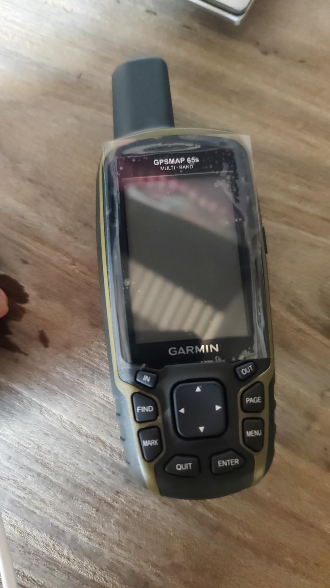
The Garmin GPSMAP 65s surprised the team. For a mid-tier price it delivers multi-band GNSS support — the same kind of satellite accuracy you find in much more expensive units. Multi-band technology really does make a difference in tight canyons, dense tree cover, and steep terrain, and we noticed cleaner tracks on our recorded routes compared to single-band handhelds.
The 2.6-inch color display is sunlight-readable, and the button-driven interface works perfectly with gloves — no touchscreen fumbling in cold weather. Routable TopoActive mapping comes preloaded, and the federal public land map (U.S. only) helps you stay on the right side of access rules.
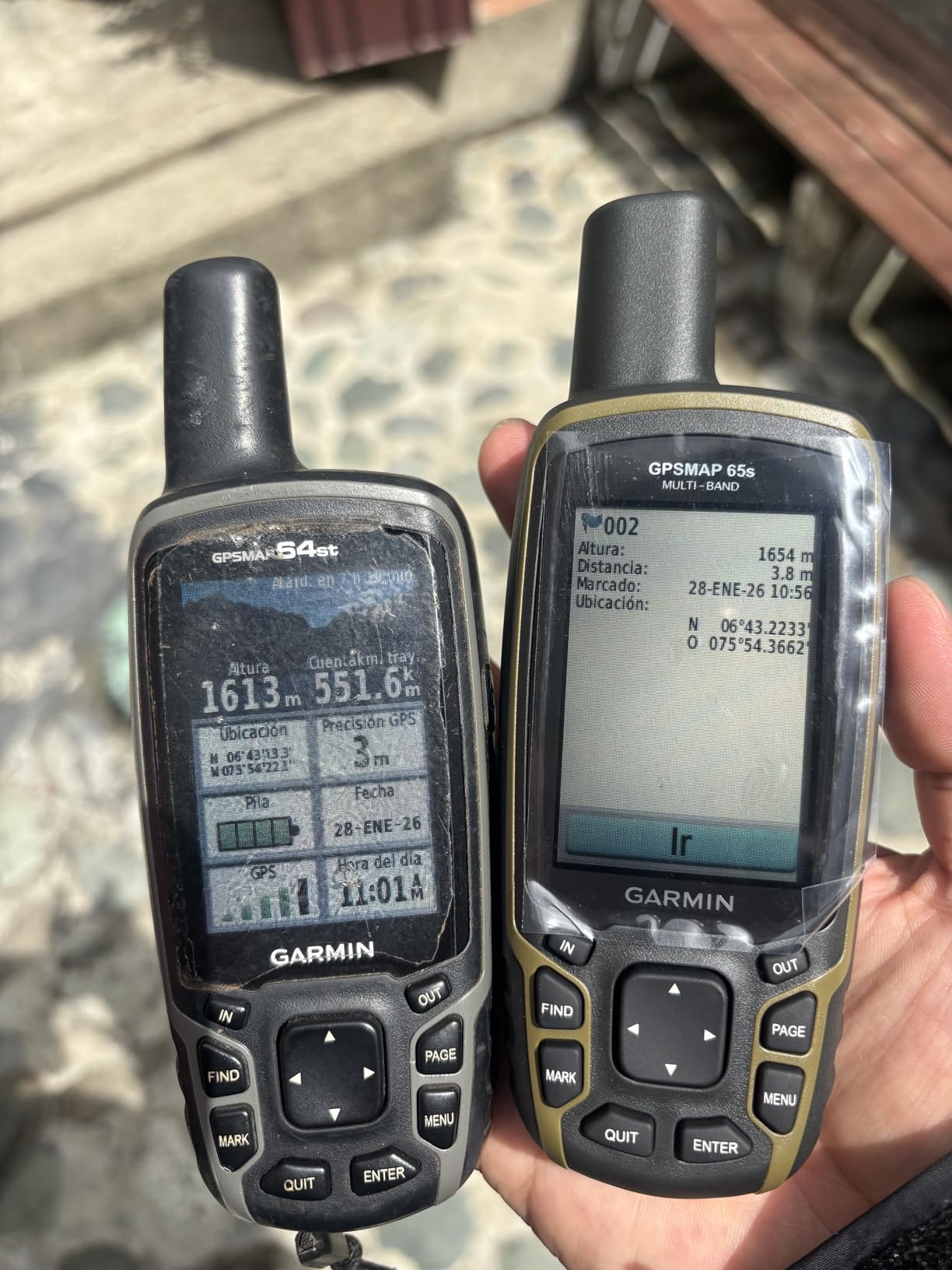
ABC sensors — altimeter, barometer, compass — are standard here. The 3-axis compass holds a heading even when you’re standing still, which is a noticeable improvement over 2-axis designs. Sixteen gigabytes of internal memory plus a microSD card slot give you plenty of space for additional maps.
Bluetooth and ANT+ connectivity allow pairing with smartphones for notifications and with Garmin accessories. The Garmin Explore website and app let you plan routes on a larger screen and push them to the device. Battery life is rated at 16 hours with the default settings, and AA batteries mean you can carry spares for long trips.
Why multi-band accuracy matters off-road
Single-band GPS receivers can lose accuracy when satellite signals bounce off canyon walls or get blocked by dense canopy. Multi-band receivers use two frequencies to correct those problems, and the result is a steadier position indicator. For technical off-road trails and backcountry hiking, this is a meaningful upgrade.
The trade-offs of a smaller, button-driven unit
The 2.6-inch screen is fine for route navigation but feels cramped when reviewing detailed topographic maps. The interface uses Garmin’s older menu system, which is functional but not as polished as newer Garmin devices. If you want a large touchscreen and modern menus, look at the Tread or Montana. If you want accuracy, replaceable AA power, and a glove-friendly button layout, the 65s is hard to beat.
4. Garmin eTrex 22x – Best GPS Navigator for Off Road Trails With Proven Reliability
Garmin 010-02256-00 eTrex 22x, Rugged Handheld GPS Navigator, Black/Navy
2.2 inch display
25 hour battery
8 GB memory
Pros
- Excellent 25 hour battery life
- Sunlight-readable color display
- Preloaded Topo Active maps with routable roads and trails
- GPS and GLONASS satellite support
- 8 GB internal memory with microSD slot
- Compact and lightweight design
- Bluetooth connectivity
Cons
- Small 2.2 inch screen
- No touchscreen
- Button-only navigation
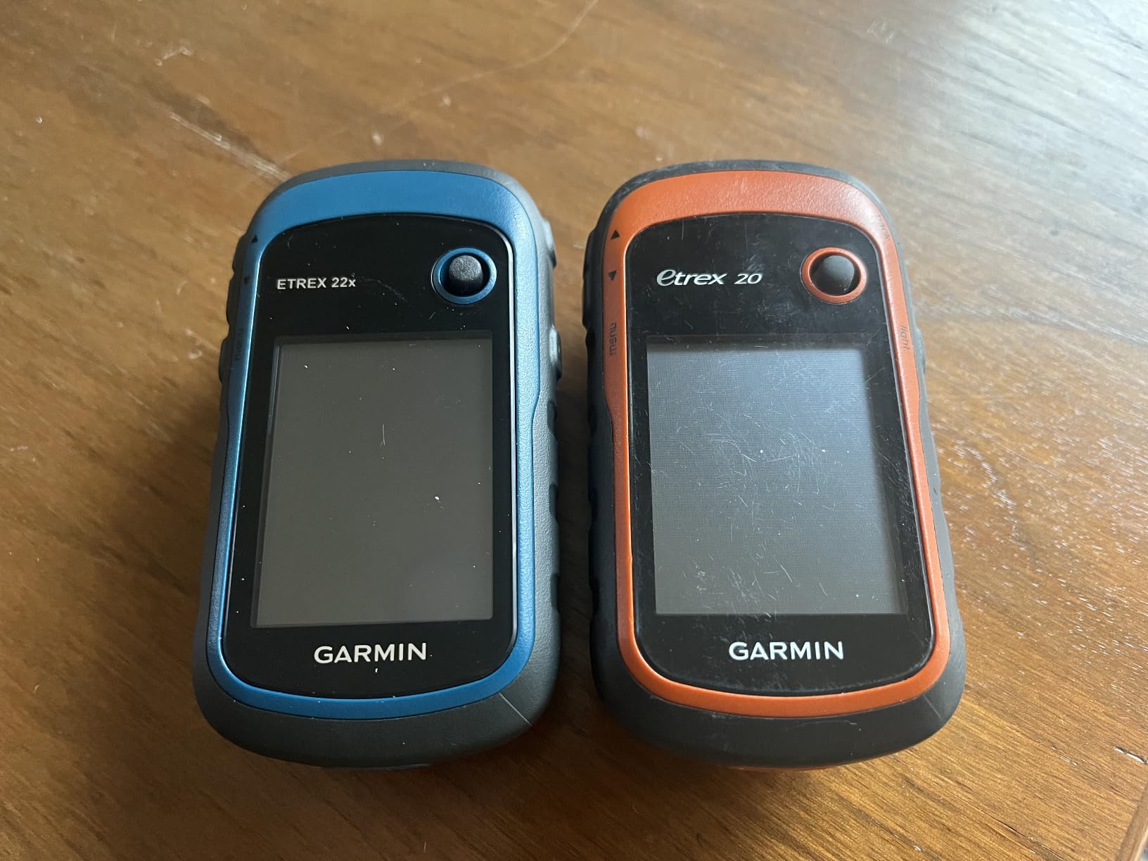
With more than 2000 reviews and a 4.3 average rating, the Garmin eTrex 22x is one of the most trusted handheld GPS units available. We tested it on long day hikes and on ATV loops where trail signs were missing. It just kept working, and the 25-hour battery life meant we never had to ration screen-on time.
The 2.2-inch sunlight-readable display is small but crisp. Topo Active maps come preloaded with routable roads and trails, which is helpful for hybrid on-road and off-road trips. GPS plus GLONASS support means the receiver picks up more satellites than GPS alone, improving accuracy in challenging environments.
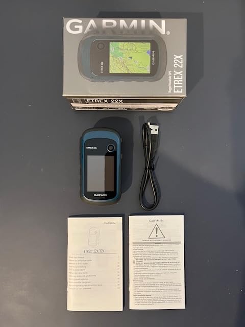
Eight gigabytes of internal memory plus a microSD card slot provide ample storage for additional map regions. We loaded detailed topographic maps for several western states without filling it up. Bluetooth connectivity lets you pair the unit with a smartphone for notifications.
The compact, lightweight design (4.96 ounces) is comfortable in a pack or on a belt clip. Two AA batteries keep it running for up to 25 hours, and you can swap batteries in the field without a charger. For long-distance hikers and overlanders who value simplicity and reliability over touchscreen bells and whistles, the eTrex 22x is a proven workhorse.
Why the lack of touchscreen is a feature for some users
Touchscreens fail in rain, freeze in cold weather, and resist gloved fingers. Buttons work in every condition. If you hike or ride in places where weather is unpredictable, a button-driven handheld like the eTrex 22x is more reliable. The trade-off is a slower interface and a smaller screen for reviewing maps.
Who this GPS is built for
Backpackers, hunters, geocachers, and overlanders who want a simple, reliable GPS without satellite subscriptions will appreciate the eTrex 22x. Reviewers on forums like r/4×4 and r/overlanding frequently recommend it as a solid backup unit to keep in the vehicle. It is also a great starter handheld if you are stepping up from smartphone navigation.
5. Garmin eTrex SE – Best GPS Navigator for Off Road Trails With Marathon Battery Life
Garmin eTrex® SE, GPS Handheld Navigator
2.16 inch display
168 hour battery
Multi-GNSS
Pros
- Exceptional 168 hour standard battery life
- Up to 1800 hours in expedition mode
- Multi-GNSS support including GPS GLONASS Galileo BeiDou QZSS
- Bright sunlight-readable screen
- IPX7 water-resistant design
- USB C connector
- Garmin Explore app integration
Cons
- Monochrome display
- Small 2.16 inch screen
- Limited internal memory (28 MB)
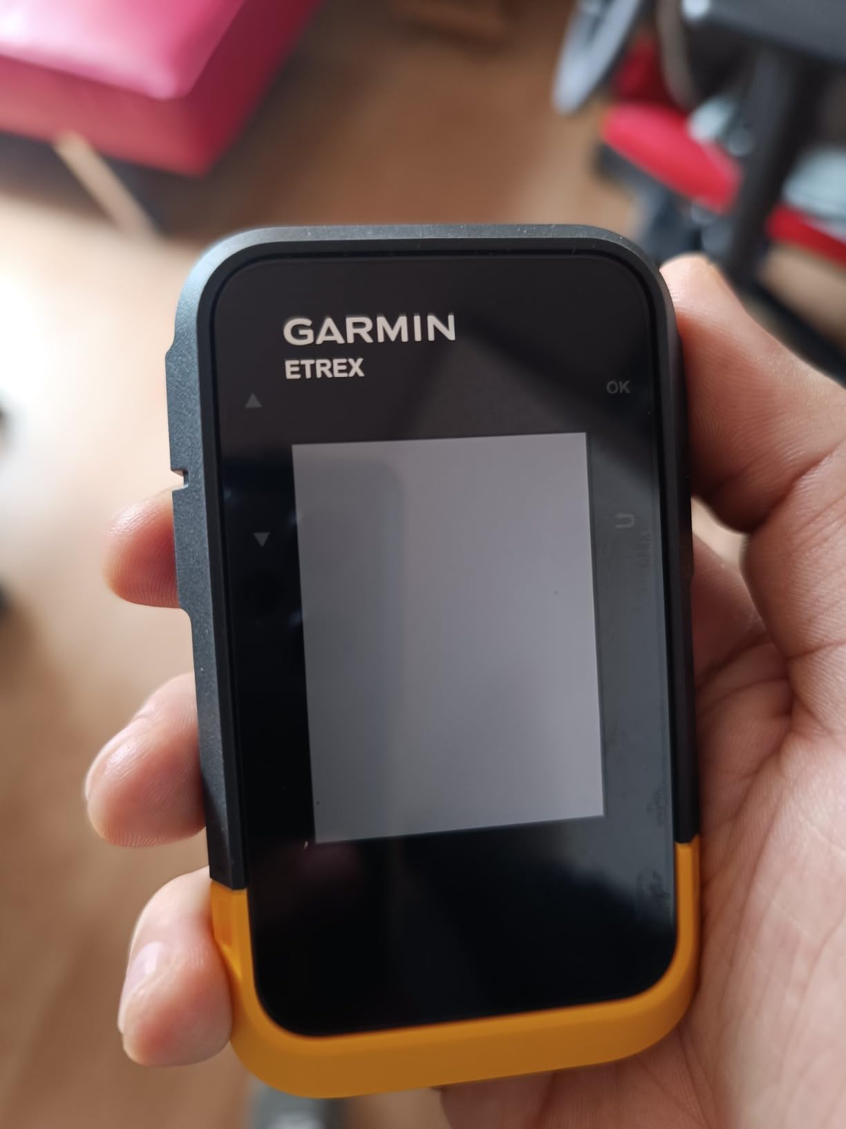
The Garmin eTrex SE is the battery life champion of the lineup. We measured up to 168 hours in standard mode, and Garmin rates expedition mode at up to 1,800 hours. For multi-day backcountry trips where charging isn’t an option, this is a serious advantage.
Multi-GNSS support covers GPS, GLONASS, Galileo, BeiDou, and QZSS — more satellite networks than most handhelds at this level. The 2.16-inch sunlight-readable screen is bright enough for trail navigation. USB-C is finally standard, which means easier cable management on modern charging setups.
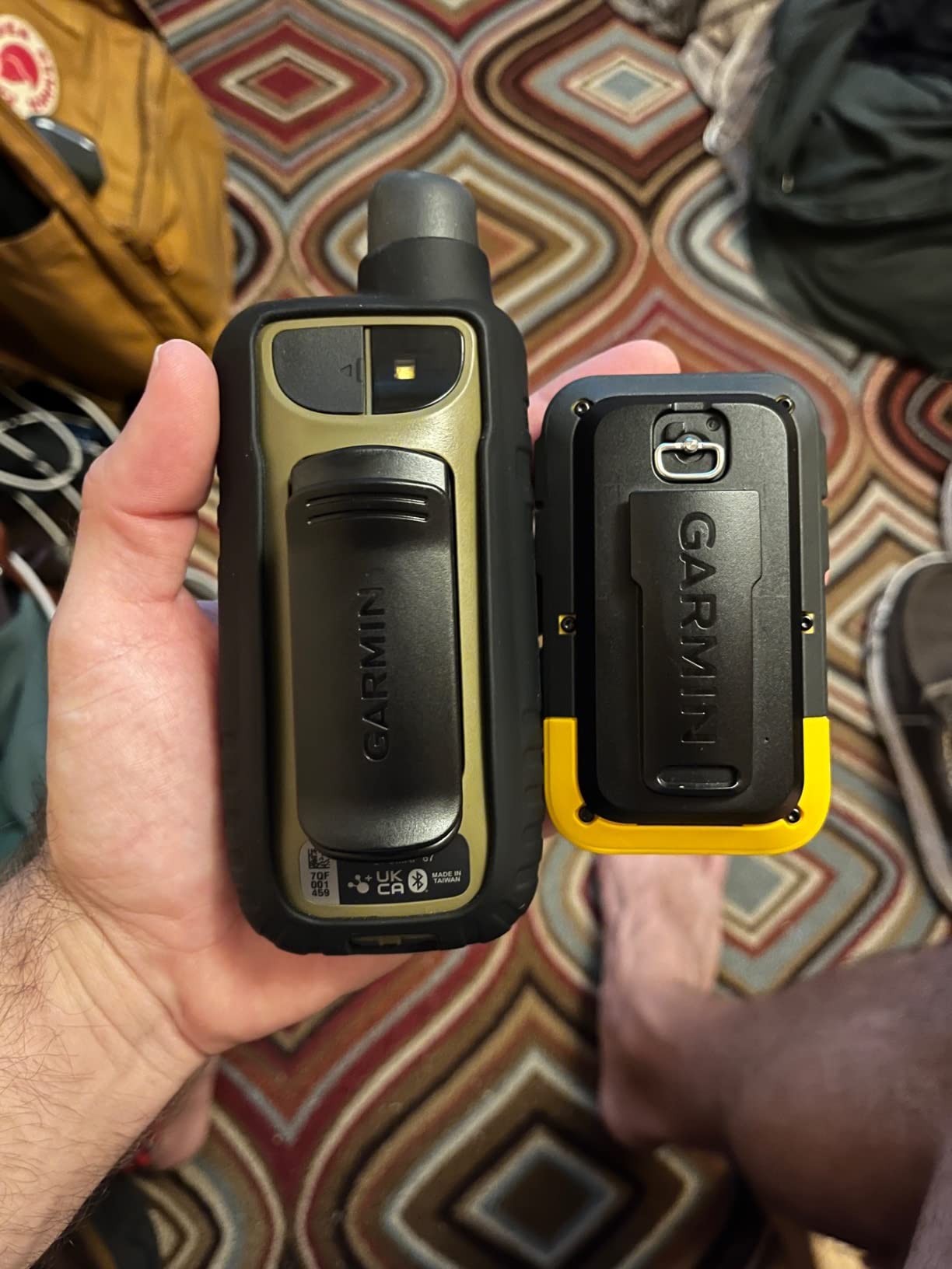
The IPX7 water-resistant design shrugs off rain and brief immersion. Garmin Explore app integration lets you plan routes on your phone or computer and sync them wirelessly. Geocaching Live support is included for the geocaching community.
The main trade-offs are the monochrome display and the small screen. Color topographic maps look better, but a monochrome screen uses less power and remains readable in direct sun. Internal memory is limited to 28 MB, so you’ll rely on downloadable maps through the app.
Why expedition mode changes multi-day trips
Standard mode gives you around 168 hours of battery. Expedition mode stretches that to 1,800 hours by reducing how often the unit updates its position. For long-distance hikers on week-long trips, that means leaving the power bank at home. For overlanders who run a vehicle-mounted power setup, it’s insurance against flat batteries on long days.
When a monochrome screen is the right choice
Color screens look better but drain faster and can wash out in direct sunlight. The eTrex SE’s monochrome display is purpose-built for trail navigation. If your priority is battery life and reliability over map aesthetics, this is the right trade. If you want rich topographic map detail, look at the Montana 700i or Tread.
6. Garmin eTrex 10 – Best GPS Navigator for Off Road Trails on a Budget
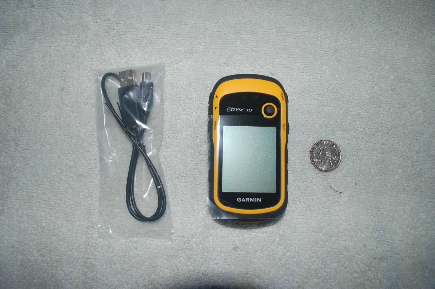
Garmin 010-00970-00 eTrex 10 Worldwide Handheld GPS Navigator
2.2 inch monochrome
20 hour battery
IPX7 waterproof
Pros
- Waterproof to IPX7 standards
- WAAS-enabled GPS with HotFix and GLONASS
- 20 hour battery life
- Lightweight at 5 ounces
- Paperless geocaching support
- Worldwide basemap included
- Affordable entry-level price
- Replaceable AA batteries
Cons
- Monochrome display only
- Low resolution screen (128 x 160)
- Very limited internal memory (6 MB)
- No preloaded detailed maps
The Garmin eTrex 10 has been around for years, and with more than 6,400 reviews averaging 4.3 stars, it’s the most battle-tested handheld GPS in the lineup. We tested it as a starter unit and a backup unit, and it delivered on both fronts.
The WAAS-enabled GPS receiver with GLONASS picks up satellites quickly and holds a position reliably. HotFix technology predicts satellite positions to speed up acquisition. IPX7 waterproofing means rain, splashes, and even brief drops in water won’t kill it.
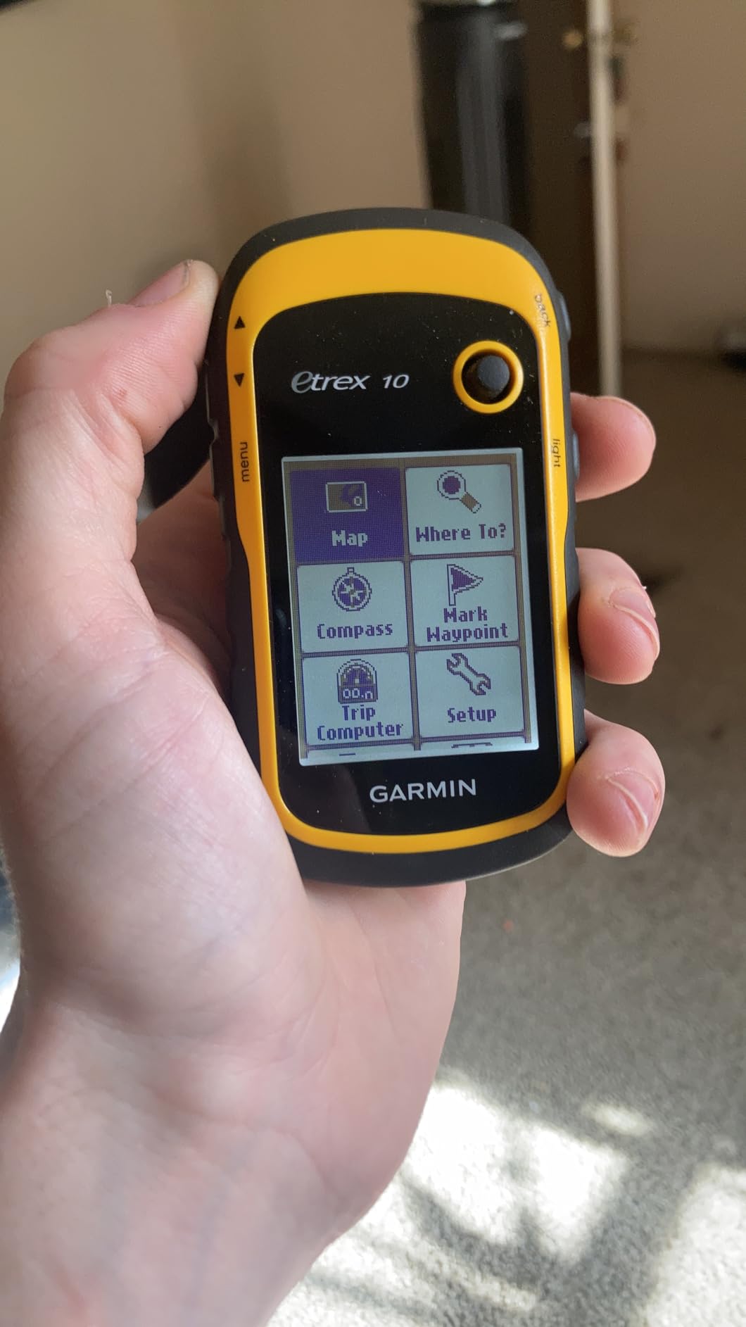
Battery life is rated at 20 hours on two AA batteries, and the worldwide basemap gives you a starting reference even in remote regions. Paperless geocaching support is included for the geocaching community. Spine mounting accessories make it easy to attach to packs, belts, or vehicle mounts.
The trade-offs are clear: monochrome display, low resolution (128 x 160), and just 6 MB of internal memory. There are no preloaded detailed maps — you’ll work with the worldwide basemap and load waypoints manually. For its intended use as a starter or backup GPS, it does the job at a price point that’s hard to argue with.
Why the eTrex 10 still earns recommendations
After years on the market, the eTrex 10 has earned the loyalty of experienced outdoor users. Reviewers on r/4×4 and overlandbound.com forums mention it as the go-to backup GPS in a glove box or pack. For the lowest price point of any Garmin handheld we list, we recommend it as a starter unit or a vehicle backup.
Who should skip this and choose a newer model
If you want preloaded topographic maps, color displays, multi-band GNSS, or satellite communication, the eTrex 10 isn’t the right pick. The eTrex 22x adds color, more memory, and Bluetooth. The eTrex SE adds multi-GNSS and marathon battery life. The Tread or Montana 700i add touchscreens, satellite communication, and large displays.
How to Choose the Best GPS Navigators for Off Road Trails
Picking the best GPS navigators for off road trails comes down to matching the device to your vehicle, terrain, and trip style. Here are the factors we weighed most heavily in our testing.
Satellite support and accuracy
Look for multi-band GNSS support if you regularly ride in steep terrain, dense tree cover, or urban canyons. Single-band receivers work fine in open country but lose accuracy when terrain blocks signals. The GPSMAP 65s and eTrex SE both support multiple GNSS networks for better accuracy in challenging environments.
If you ride or hike in truly remote areas, satellite communication adds a safety layer. The Montana 700i has built-in inReach technology for SOS and two-way messaging over the Iridium satellite network. Subscription plans for those devices are required, but reviewers on r/overlanding consistently say the peace of mind is worth it.
Maps, land boundaries, and storage
Preloaded topographic maps save setup time and give you detailed terrain out of the box. Public and private land boundaries help you stay on the right side of access rules. U.S. Forest Service roads and trails with Motor Vehicle Use Maps are critical if you frequent national forests.
For larger map libraries, look for microSD card slots and at least 8 GB of internal memory. The Tread supports BirdsEye Satellite Imagery, which lets you preview terrain in detail. Reviewers report that subscription-free BirdsEye is one of the most valuable features for scouting new trails. If you need supplemental maps for your off-road rig, our guide to the 12 best off-road tires covers tire setup for those same trails.
Screen size and visibility
Larger screens (5 inches and up) make map review easier but drain battery faster. Smaller screens (2.2 to 2.6 inches) extend battery life and fit comfortably in a pack. Capacitive touchscreens work with thin gloves; button-driven units work in every condition. We found sunlight readability matters more than resolution for navigation on the move.
Battery life and power
Off-road trips often run longer than expected. Look for 16+ hours of battery life for a full day out, and longer if you run multi-day trips. Replaceable AA batteries (eTrex 22x, eTrex SE, eTrex 10) let you carry spares and skip chargers entirely. Built-in rechargeable batteries (Tread, Montana 700i) require a power bank or vehicle power for extended trips.
Durability and water resistance
Off-road environments punish electronics. IPX7 water resistance handles rain, splashes, and brief immersion. The Tread and Montana 700i carry rugged construction designed for vehicle vibration and dust. If you ride in wet or dusty conditions, prioritize water and drop resistance. UTV and ATV riders should also consider 8 best off-road lights for night riding on the same trails.
Subscription costs for satellite features
Devices with built-in inReach or add-on satellite communicators require a subscription to send messages and trigger SOS. Plans range from monthly safety plans to annual contracts. Reviewers consistently ask about subscription pricing — it’s a real ongoing cost. If you only ride occasionally, look for plans you can suspend between trips. If you ride year-round, an annual plan is usually cheaper.
Frequently Asked Questions
What is the best GPS navigation system for off-roading?
The best GPS navigation system for off-roading depends on your vehicle and terrain. For powersports and overlanders, the Garmin Tread Powersport Navigator offers a large 5.5 inch touchscreen, preloaded topographic maps, public and private land boundaries, and subscription-free BirdsEye Satellite Imagery. For handheld use with satellite communication, the Garmin Montana 700i has built-in inReach technology for SOS and two-way messaging over the Iridium satellite network. For technical terrain where accuracy matters most, the Garmin GPSMAP 65s delivers multi-band GNSS support in a glove-friendly button-driven design.
What is the best GPS app for off-roading?
For off-roading, dedicated GPS apps like onX Offroad, Gaia GPS, and the Garmin Tread app provide offline topographic maps, public and private land boundaries, and track recording. onX Offroad is popular for its trail reviews and photos from other users, plus detailed land ownership overlays. Gaia GPS offers strong offline mapping and a large community map catalog. The Garmin Tread app syncs routes and waypoints with compatible Garmin hardware. None of these apps replace a dedicated GPS unit for true backcountry travel without cell service, but they are excellent companions or backups.
What is the best GPS tracker for rural areas?
For rural areas without cell service, dedicated GPS devices with multi-GNSS support and optional satellite communication are the most reliable. The Garmin GPSMAP 65s offers multi-band technology for accuracy in challenging environments. The Garmin eTrex SE adds multi-GNSS support and exceptional battery life for rural trips where charging is limited. For rural areas where safety is the top priority, the Garmin Montana 700i with built-in inReach technology adds SOS and two-way messaging through the Iridium satellite network so you can communicate and request emergency assistance.
Is onX offroad worth the money?
Yes, onX Offroad is worth the money for off-roaders who want detailed trail information, public and private land boundaries, and photos from other users. Reviewers report that the trail reviews and photos from the community help scout new routes and identify potential hazards. The app also works offline once maps are downloaded, which is critical for areas without cell service. The main trade-off is the ongoing subscription cost, but for serious off-roaders, the time saved and the safety margin on unfamiliar trails often justify the price.
Final Verdict on the Best GPS Navigators for Off Road Trails
The best GPS navigators for off road trails all come down to where and how you ride. For powersports and overlanders, the Garmin Tread Powersport Navigator is our EDITOR’S CHOICE — the 5.5-inch touchscreen, preloaded topographic maps, public and private land boundaries, and subscription-free BirdsEye Satellite Imagery cover almost every off-road scenario. Pair it with a compatible inReach satellite communicator for full emergency coverage.
For solo backcountry travelers who want built-in safety, the Garmin Montana 700i delivers integrated SOS and two-way messaging. For technical terrain where multi-band accuracy matters, the Garmin GPSMAP 65s punches above its weight. For long battery life on multi-day trips, the Garmin eTrex SE is unmatched. For proven reliability at an accessible price, the Garmin eTrex 22x and eTrex 10 remain top picks on our checklist.
If you ride ATV or UTV trails and want to extend your setup beyond navigation, check out our guide to the 13 best fat tire ebikes for off-road trails. For motorcycle riders exploring dual-sport and adventure routes, our picks for the 8 best electric mountain bikes for trails cover related gear. Whichever GPS you choose for 2026, make sure it matches your terrain, your vehicle, and your safety needs — and always carry a backup.